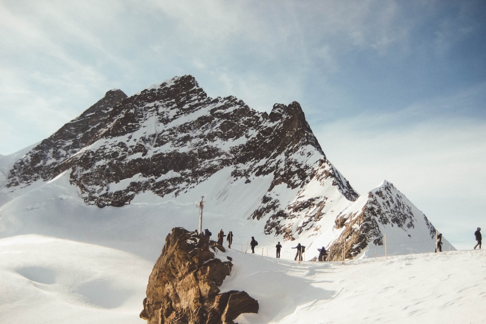
Mont Blanc, standing at 4,807 metres, is the highest peak in the Alps and the second-highest in Europe after Mount Elbrus. It lies at the heart of a massif comprising 7 valleys and 71 glaciers, spanning three countries: France, Italy, and Switzerland (with a total length of 30 km and a width of 13 km).

The French side boasts the largest number of glaciers, while the Italian side features the steepest slopes. Meanwhile, the Swiss sector has the lowest elevations and vast stretches of alpine meadows.
The Tour du Mont Blanc was first completed in 1767 and gained popularity after 1914 with the arrival of the railway. The first guidebook was published in 1955. Today, the trail around the massif is marked by red-and-white signs in France, signposts in Italy, and yellow diamonds in Swiss valleys (with white-red-white stripes in mountain areas).
This trekking route covers 160 km and can be completed in nine days. The highest point reached is 2,665 m (Fenêtre d'Arpette).
The ideal time for this adventure is mid-June to late September. Ice axes and crampons are necessary until mid-July. Note that from mid-July to late August, it’s essential to book accommodation in mountain huts or valley hotels along the route.

It’s highly recommended to start each stage early in the morning to secure lodging—first come, first served!
Pack light, as you can resupply in villages along the way. Most huts provide bedding, so leave your sleeping bag behind! High-quality sunglasses, sunscreen, waterproof clothing, and sturdy hiking boots are must-haves.
- The trek begins in Chamonix Valley, specifically in Les Houches village. You’ll then ascend to Col de Voza (1,653 m), leading to Fioux Hut or Bionnassay Inn.
- The second stage is one of the toughest: a 9-hour, rollercoaster-like trail of ascents and descents to Nant Borrant Hut.
- On day three, tackle a 1,232 m elevation gain in 6 hours. At Col du Bonhomme, you’ll see two stone cairns built by hikers over the past century.
- Day four enters the Italian side—a 10-hour trek to Bertone Hut.
- Stage five passes Testa Bernarda (2,534 m) for unmatched views of Les Jorasses and Dent du Géant, then continues to Bonatti Hut (named after the famed Italian climber) and finally Refuge Elena.
- Day six is all about descent! Enter Switzerland and continue to Relais d’Arpette.
- The 7th stage requires 8 hours of hiking to reach Col de La Forclaz—the route’s highest pass. Don’t forget your camera—the views are breathtaking!
- The penultimate day covers the massif’s northeast, staying at La Flégère Hut.
- On the final day, descend south after crossing Brévent Peak (2,525 m). The vistas of Aiguille du Midi and Bossons/Taconnaz Glaciers will reward your efforts! Then, return to Les Houches, where you began nine days prior.

Ready for adventure? Lace up your boots and start planning your journey now!


